Continuing on my previous article on The Aos Si’s Gift, it’s time to talk about the cartography procss a little. This will be the first of three articles on this topic, including talking about integrating the (smaller) map of a single kingdom with the larger continental map. The final installment will talk lessons learned and how I might do things differently in the future.
Why Maps and Cartography?
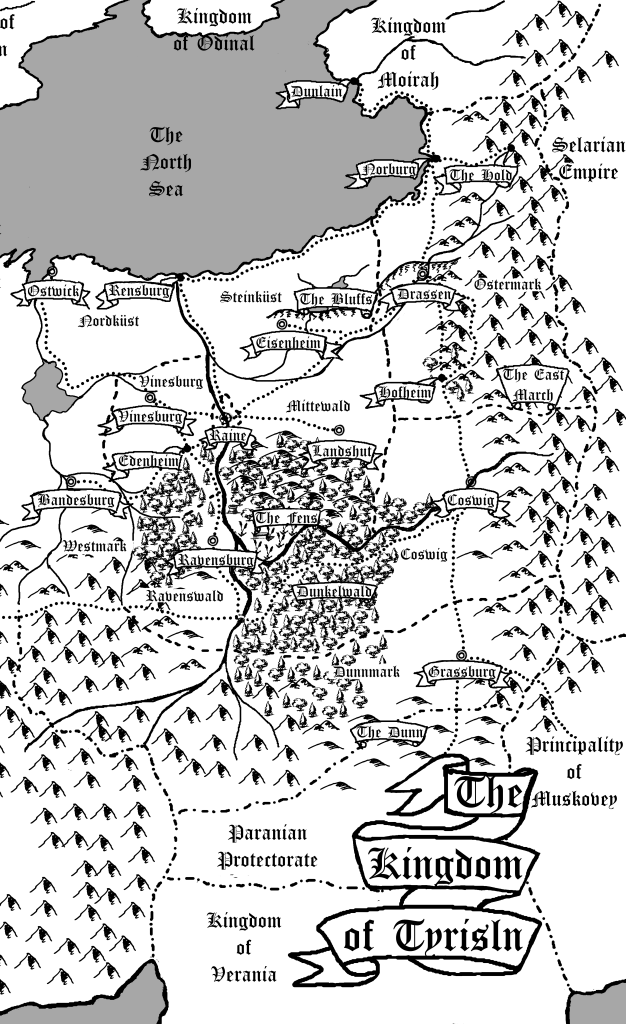
Cartography is the process of making maps.
Why make maps for your fantasy book, though? Or, any book, really?
First off, you should make maps for your fantasy books if you’re able because it gives a large portion of readers a better ability to visualize the space. As a reader, it’s nice to see a map because I know that in The Elenium series by David Eddings, Chyrellos was east-southeast of Cimmura. My edition of Lloyd Alexander’s The Book of Three did not have a map. It was not until I looked online that I learned that Caer Dallben was very east-southeast of Caer Achren. Other editions of The Chronicles of Prydain do have maps, of course…I was simply unaware of that fact when I purchased the book. Either way, I decided to include maps because it helped me as a reader. So, I figured that it might be helpful for others as well.
Secondly, the stylistic choices of a map can often give a lot of clues about the nature of a story. A map which is similar in style to a classic fantasy map, such as that of middle earth, is an immediate clue that one is dealing with a high fantasy novel. Certain map features might also point to a particular historical period your novel might be analogous to. A more technical map might indicate urban fantasy, while any form of star mapping generally indicates science fiction. It’s all about what your map says about your book. Now, I understand that not everyone can or wishes to hand-draw their own maps. That’s okay. There is software available to help with that. There are also cartographers who accept commissions. (There’s a website called the Cartographers’ Guild I’ve been meaning to look into…might be a good place to start looking.)
Third, maps help keep you, the storyteller on track. They provide some written record that lets you keep track of the position of towns, cities, and geographical features relative to each other. That is a very handy thing to have, and a very powerful tool.

Feel free to ask questions or make comments below…